Pisgah 99

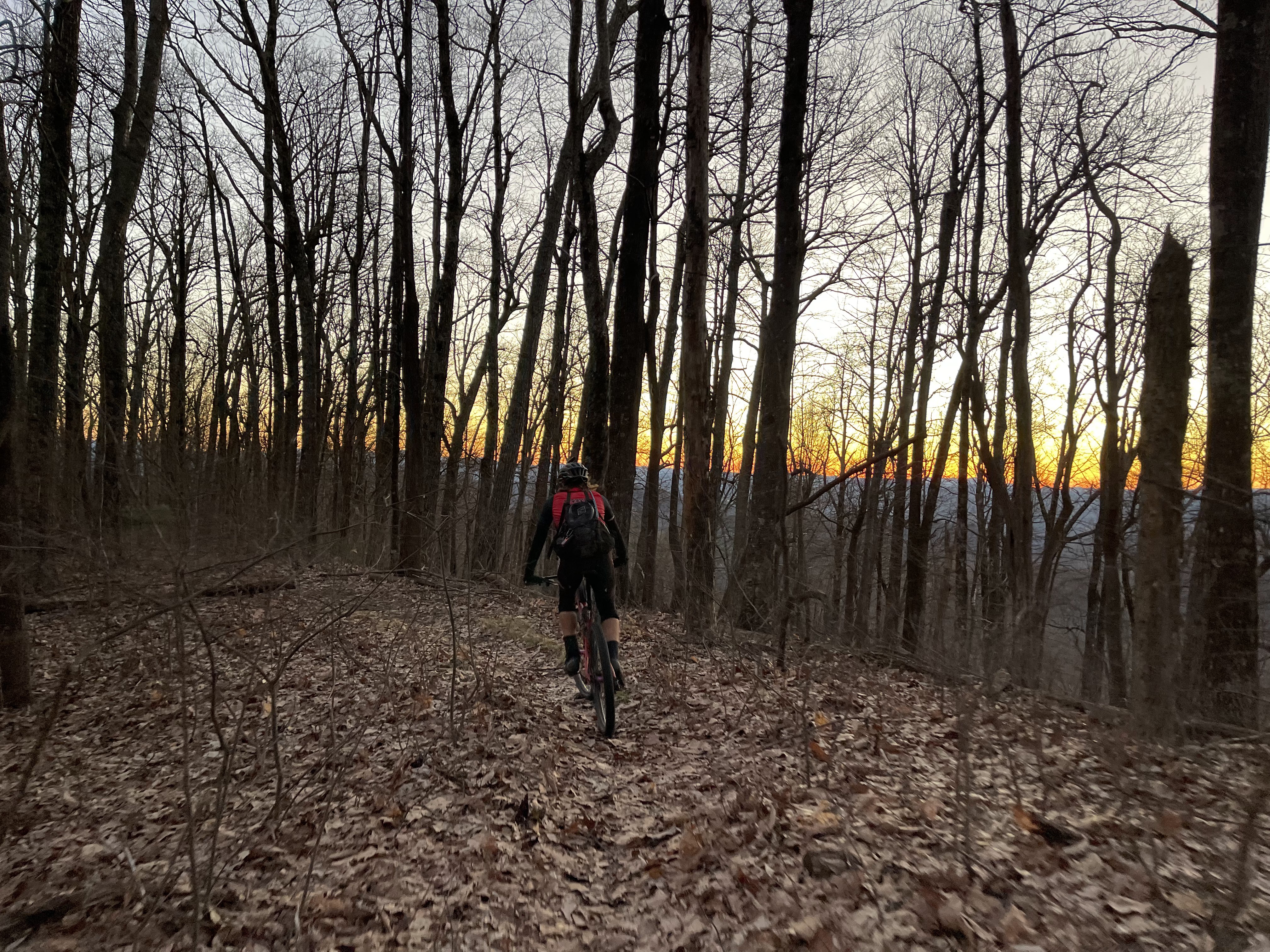
Towering climbs, hair raising descents, blown out seldom-used forest service roads, knee-deep creek crossings, intimidating rock drops, and energy-sucking hike-a-bike....Pisgah National Forest has it all. And of course, we chose to do it all, in one day (and night).
Pisgah 99 is just a route in the woods that I was lucky enough to be invited to ride by a dear friend and single speed legend, Chris Joice. I was super pumped and, admittedly, a bit nervous about this route. I think the nervousness stemmed from the fact that there was no resupply because the route is just in the national forest the whole time; there is no passing through small towns for resupply at gas stations and what not, like some of the ultras I've done. That meant I had to plan my food for 20+ hours of riding ahead of time and, as you know, if you know me or have read any of my other rambling blog entries, I hate planning!
In addition to Chris, a couple of other friends who make bad bike decisions were planning to come play. Jason Vance made the trek from South Carolina and Joe Wharton drove all the way from South Florida for his first-ever ride in Pisgah.
After making the drive up on Friday, white knuckling the van steering wheel through tornado watches and 60mph wind gusts, I ripped through the grocery store with my planning anxiety like I was on an episode of Shop 'Til You Drop. I packed a couple of coolers with everything you can imagine and headed off into the forest to stash them in the woods at a couple of different locations.

I rolled back down 276 to Davidson River Campground, settled in, prepared some things, and hung out with Jason Vance for a bit when he stopped by.
After some halfway decent sleep, the alarm sounded at 4:00am for a 5:00ish start. I made some oatmeal with assorted berries, had a donut, and slammed a Starbucks espresso and cream mini can thingy. I pulled my bike up to the van door into the light and noticed none of my repair kit was in my top tube bag. After a brief freak out, I realized it was all laying on the ground behind the van where a mischievous raccoon had unzipped the bag and pulled everything out in search of snacks. No worries, pal, I love snacks too.
I pedaled across the street to meet Joe, Jason, Matt, and one of his friends, and we all rolled up 276 to Avery Creek Road to meet a few others at the start point. To my delight, there were a couple of others there that I knew, including Lee Neal and Steve McHone, as well as several others that I didn't know. I think there were about 10 people total, some planning to tackle the whole route, and some planning to just do part of it. Unfortunately, life happened at the last minute and Chris was unable to make it.

At 5:15am, we all took off, soft pedaling and chatting and just catching up. With the crisp, cool morning air in our faces, we chipped away at the 6 mile gravel climb up to Buckhorn Gap. Lee, Matt, and I headed into the Upper Black Mountain section first, which is mostly hike-a-bike, taking us up to just over 4,000' elevation. I was excited, hoping for a magnificent sunrise from the top of Black Mtn.


After Squirrel, it was back onto South Mills Road to Wolf Ford Road to1206/Yellow Gap Road and out to the pavement at 276 where I had a cooler stashed. This completed the first "loop", which was about 31 miles and 6,000' feet of elevation gain, taking right at 5 hours.
I had broken the route down into three "loops" so it was easier to digest, mentally. The second loop was 40 miles and would bring us right back to this same spot where the cooler was, at 1206/276. And the third loop was also 40 miles but would take us to the finish at the bottom of Black Mtn.
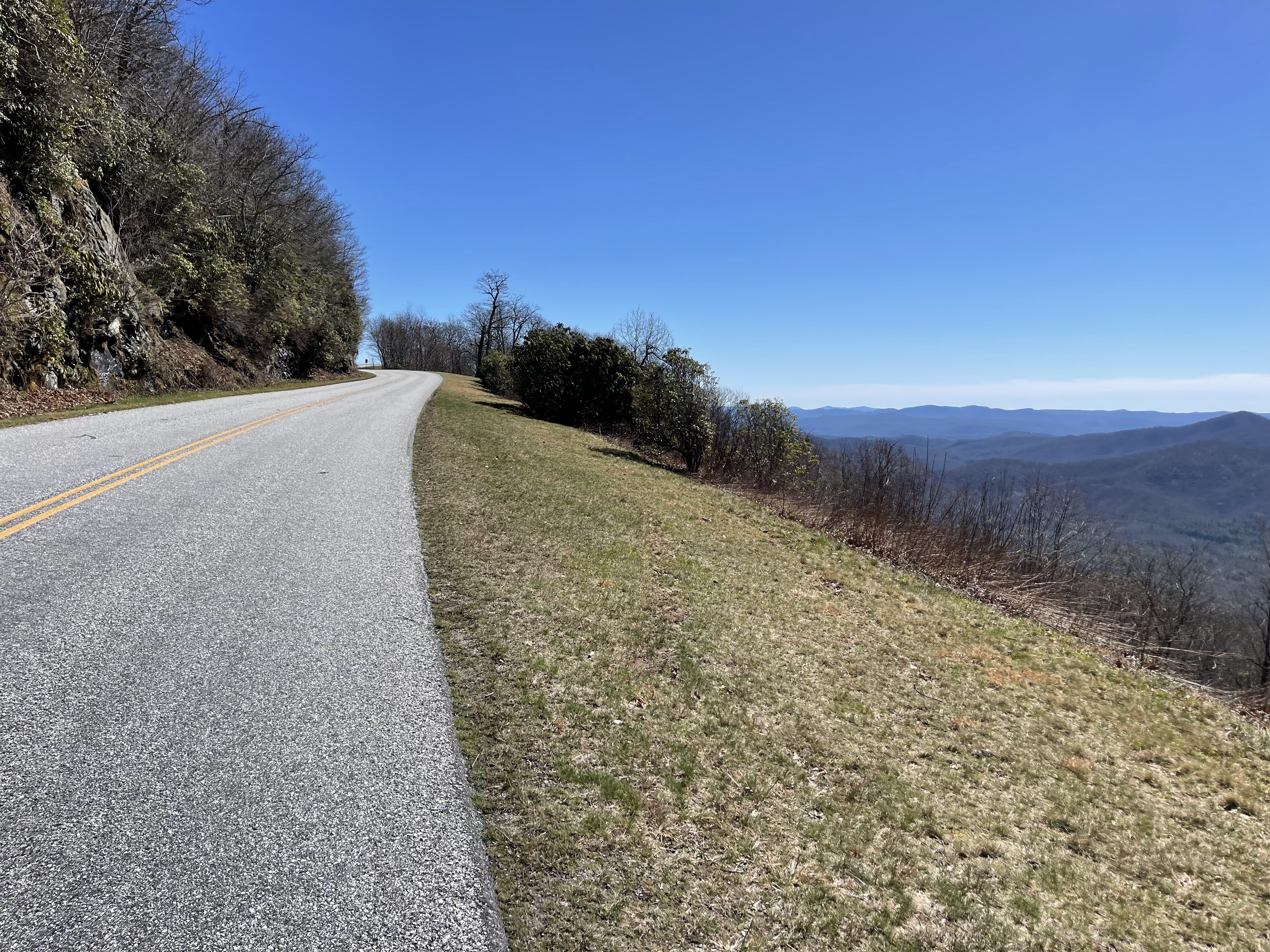
After some food and coke and ginger ale and shedding of layers and removal of lights, we started the 7 mile paved climb up to the Blueridge Parkway, past the Pisgah Inn, and on to Big Creek Trail, where we definitely pushed our bikes on the part where you're not allowed to ride.

We did the Big Creek Trail descent, which was nearly 2500' from the parkway to the low point. It was super steep and leaf covered, with some tight switchbacks, which was incredible. The lower part wasn't the greatest, with quite a few trees to climb over and several creeks to cross, getting our feet wet again, after changing into dry socks at our last stop. It dropped us into the North Mills River area, where we'd start the climb up Spencer Gap and Fletcher Creek and then descend Trace Ridge, which rattled my brain, back down to 1206/Yellow Gap Road.


Back on the East end of 1206, we grabbed some water at the spigot by the bathrooms and started the 10 mile, 2600' climb from the bottom of 1206 to the top of Laurel Mtn, headed for Pilot Rock. The Laurel Mtn hike-a-bike section near the top was a doozy! Pictured below is just a tiny portion.

From the top of Laurel Mtn, we descended the 1600' of Pilot Rock Trail, which is mostly rock, with some gnarly switchbacks...a lot of them. I loved every freaking minute of it! So good! At the bottom, we were back on 1206 again and had just a few easy miles back to 276 where my cooler was.


I think we arrived back at the resupply spot around 5:10pm, which means it took us about 6.5 hours to do the second loop, and were now about 12 hours and 70 miles into the ride. We ate and drank and filled our pockets with more food. We added layers and grabbed our lights and headed out for the final push to the finish.
The final loop took us down 276 to the gravel of 475b, which got pretty chilly on the descent. We made our way through the Cove Creek singletrack descent to the Cove Creek Campground and out 475, milking every last second of daylight, and some moonlight, before turning on our lights.


We followed 475 out just past where the Art Loeb Trail crosses and turned right onto the dreaded 5003, or Indian Creek Trail. This was probably my least favorite. It was very much like a horse trail. It's one of those seldom-used, forgotten trails that I mentioned earlier. Blown out, littered with small baby head-sized rocks, extremely wet and soft with water running down the trail in a lot of places, or just deep leaves that slow your momentum. It was rideable on a normal day, but not 14 or more hours into a ride. It was mostly a long hike with my bike, stumbling over rocks I couldn't see. It was about 7 miles and I bet we spent 1-1.5 hours dealing with that hot mess. And then we finally topped out at the infamous Farlow Gap around 9 or 10pm.
Farlow is special in it's own way. It's one of the most technical descents in Pisgah, from what I hear. And apparently Hurricane Fred had it's way with Farlow when it came through, making it significantly worse. There were definitely several sections of hike-a-bike downhill. But, we picked our way through it uneventfully, even navigating the boulder-littered creek crossings without incident.


Those are the last pics that I took. I was too tired and my phone was dying. And photo cred to Matt for the photos of me.
We were about 95 miles in with only 15ish miles to go. Fifteen tough miles which encompassed 12 miles of climbing and hike-a-bike and a 3 mile descent to the finish.
We flew through the Davidson River Trail and started the gravel climb up 475b, where we had descended earlier to start the loop. On to the pavement of 276 again and then right turn on Avery Creek Road/477, where we both had a small cooler stashed.
We quickly ate and drank and started up the gravel of 477 to the hike-a-bike up to Club Gap and then onto Black Mtn Trail towards Buckhorn Gap, where we'd been first thing that morning, about 18-19 hours prior. Matt was hiking quite a bit faster than me, and he was also descending faster than me. I was holding him up and just told him there was no need to wait on me. He obliged, we gave a quick fist bump to an epic day, and he rolled on towards the finish. I made one more stop at Buckhorn Gap to eat a little more before the final push over Upper Black for the second time.
To give you an idea of the difference in times for the hike across upper black, strava says it took us 30 minutes to do it that morning, and it took me 47 minutes to do it at 1:00am. I was in rough shape, mainly my upper body and my feet. But I got it done and started the descent from Upper Black to the bottom, having to take it easy all the way down. Every rock and root hurt everything on my body, so it was slow going and seemed like it was never going to end.
I finally rolled into the parking lot at the bottom at 2:30am for a total time of 21 hours 15 minutes with 111 miles and a little over 18,000' feet of elevation gain. I pedaled straight back to my van across the street at the campground, turned the heater on, and headed for the showers.
I appreciate the opportunity to come to Pisgah and ride this incredibly demanding route with some amazing people! This may have been one of the hardest that I've done. Thank you to my amazing wife for giving me a pass for the weekend. Thanks to Matt for being incredibly easy to suffer with and an amazing bike rider. And we missed you CJ! I had a thought or two of pedaling to the campground the easy way, after Farlow, but then I thought of you not being able to make it and quickly squashed that negativity!
Thank you for reading! Until the next bad idea. 🍻

Moving time is more than that, stopped time is less....auto-pause on the wahoo messes that up with all the hike-a-bike.


Comments
Post a Comment