2021 Three Rivers Way Vista 300


I rolled into Indian Boundary around 6:30pm, about 12 hours into the race. Their store closes at 5:00 but they had put out a cooler with water and drinks for racers. As I pulled up, I saw Hank starting to ride off. He had gotten cold, tired, started shivering, and just wasn't feeling his best. I told him I was planning to go on up the skyway and I think that was the motivation he needed to do the same, as he had mentioned going to set up camp. It was good to have some company for a while. But, before we got rolling, I had some rigging to do. Now you get to learn about the bandana battery. And a few incredible pictures from Indian Boundary.


Several hours back, it dawned on me that I had removed a crucial cable from my tank bag...the long cable that runs between my helmet-mounted light and the battery, so that it can be stored in a jersey pocket. I could zip tie it to my helmet but no one wants all that extra weight on their head; I already have a weird head and my helmet barely fits me as it is. I was wearing this stylish bandana around my neck, that I received from Karlos Rodriguez for completion of the Huracan in Florida back in February. It saved the day. I rolled the battery up in the bandana, put a zip tie around it so it didn't come unrolled, cut a hole in it and pulled the cable out, and tied the bandana around my neck, with the battery on the back on my neck just below my helmet. It worked like a charm!

Hank and I rolled out of IB around 7:20pm, I believe. The skyway climb was uneventful, other than getting extremely cold, suddenly, right as the sun was going down. We caught some amazing views of the setting sun, and I used my dirt boxers to keep my ears warm. Yep, I did. That 10 mile descent off the Cherohala Skyway, in the dark, with temps in the 30's or 40's, is no joke!


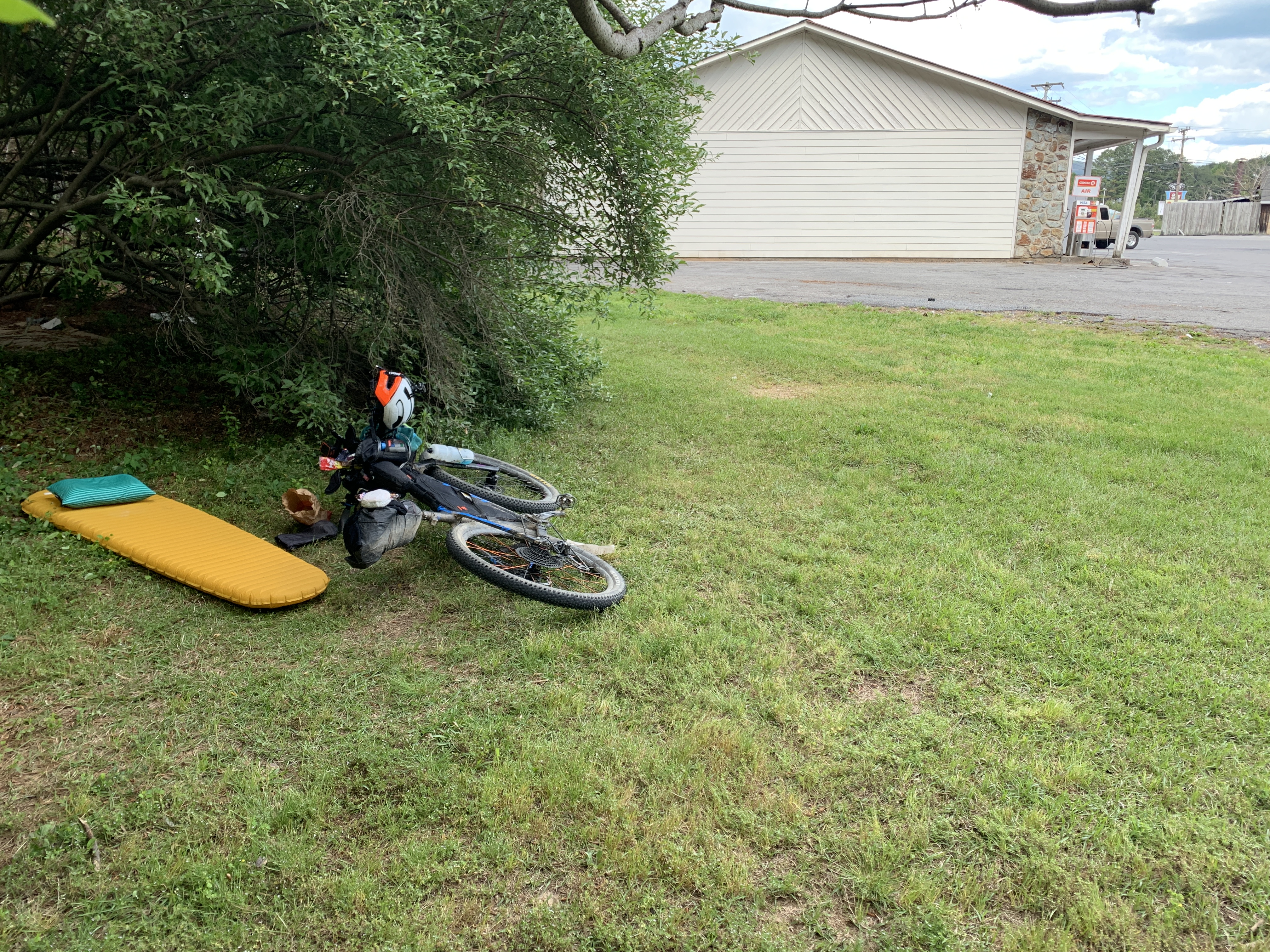
We took it easy on the long descent in the dark, chatting about our personal lives and what not. We were going to stop at the check station at the bottom, but decided to push on a little further, over the next climb, to Holly Flats Camp Ground. We arrived around midnight, 17.5 hours after the race start, and quickly set up the tent (me) and bivvy (Hank). I laid in my tent, trying to sleep, until 5am, when the alarm went off. I never fell asleep at all. My legs just quivered all night long. It was annoying. Our day totaled 130 miles and 17,000 feet of elevation gain.
We packed our crap and were rolling by 5:30. I think I had half a frosted honey bun, a trail waffle, and a gel....not nearly enough. It was about 35 degrees, and I was just wearing shorts without leg warmers. But that's ok, because the first climb, about 2 minutes out of the camp ground, is the worst on route, in my opinion. It's not overly long, but the gradients are relentless, especially at 6am with no sleep and legs that are a weeeeee bit tired. That warmed us up real quick, but also nearly killed me. However, the following long descent, at sunrise, was refreshing.
We made it over to a tiny gas station/deli that is about 2 miles before Coker Creek, but off route just a little bit. If that place had not have been there, I may not have made it any further. When we got there, I was dizzy, nauseated, and just felt flat and dead. I was purely miserable and felt like I couldn't hold my eyes open. I forced down two biscuits and gravy, bacon, and an egg, along with a chocolate milk and orange juice. Hank looked ready to go and I looked ready to die. I laid down in a booth to close my eyes for 5-10 minutes and told Hank to just roll on and not let me hold him up. After 45 mins or so, I decided I was good enough to get back on the bike.

On to Unicoi Turnpike, Benton McKay singletrack, and then a climb up to Buck Bald for a 360 degree view. The single track Benton McKay section is one of the few (or only?) sections that you can ride on bikes, and it's one of my favorite sections. It starts with some hike-a-bike (HAB) up a nasty moto hill but then is almost all rideable, sweet singletrack! It leads to Buck Bald mountain which is an out and back climb to the bald.


I left Buck Bald and headed for McFarland Road climb, which is another slog, in my mind. There are several miles of pavement to get there, and then it starts as gravel but then turns to more of a Forest Service Road that is a bit chunky. It eventually meets up with Kimsey Mountain Highway which is a long gravel descent into Harbuck/Turtletown, where Vic's Tire & Auto is located. They have small selection of pre-packaged food and drinks. I opted for a cold can of beef stew, hah!


Leaving Vic's, I was headed for Copperhill and then Ducktown. It was mostly pavement with one section of gravel to get there. But the pavement is country backroads with little traffic and stunning scenery, which passed by quickly. I had decided that I wanted pizza. I remembered staying at the hotel in Ducktown in the past, with pizza. I pedaled straight through Copperhill and made it to Ducktown around 3:30pm, I believe. I stopped and googled "food near me" and quickly realized, the previous year's pizza had come from Copperhill, dammit. My options were Piggly Wiggly or Hardee's. I opted for a burger from Hardee's and, as I as waiting at the red light to cross the road, Hank pulled up behind me. He had taken a wrong turn some time back and that cost him quite a bit of time. We went to Hardee's together but again, I told him to roll on. I was still feeling extra sleepy and wanted to lay down for a few minutes. I found a shady spot next to the gas station and tried to take a nap, which never happened. But the rest was nice, as I had a good bit of singletrack next.

I felt better and headed down Highway 64 towards the Tanasi trail system, to ride Brush Creek, Old Copper Road, Bear Paw, Chestnut, and Thunder Rock before climbing back up West Fork to the top and then taking 221 towards Hogsback Mountain to ride Sylco Trail. I stopped to fill up a bottle along the side of Peavine Mountain and happen to see Audrey Tangye, who was on her own solo multi-day ride, training for the big Tour Divide next month! Go Audrey!


As time went on, I began to feel worse and worse, with intermittent nausea keeping me from eating. At the top of West Fork, I laid down on the gravel for about 5-10 minutes, and then kept going. I was headed for the infamous Sylco Trail. I definitely did not want to ride it in the dark. And riding it in the dark is definitely what I got. It's an old back country trail that isn't maintained at all. Luckily, Kim and friends had done some trail work on it, to help us out, before the race. As soon as I entered the trail, on a steep descent, I felt like I heard extra noise. I stopped and sure enough, a couple of hogs very close to me, sprinting through the woods up a hill; scared the shit out of me. So, I just sang loudly for the next 40 minutes in attempts to scare anything away that may have been in my path.
I emerged from Syclo trail about 45 minutes after starting it, made a short gravel climb, and then laid down in the middle of the gravel road on Baker Creek Road. I was nauseated, weak, and started gagging until I finally threw up. I had been burping up food particles for a few hours now. I knew my stomach was throwing in the towel and not moving anything. I drug myself up the remainder of the climb and continued towards King's Slough. I had decided that I was going to call it. My destination for the night was another 20 miles or so. Sure, I could have set my tent up somewhere and tried to rest. But I will listen to my body before anything else. If I can't provide calories and electrolytes for proper functioning, I'm not going to continue on. If I'm vomiting, there's already a problem and I don't need to create more of one.
I'm very happy with the race I had going. I covered almost 230 miles and 28,000 feet of climbing in around 41 hours or so, which is much better than previous events. These things take time and experience to perfect the process. Thanks everyone for reading. And thanks to everyone for all the support!!

Also, please support the Hiawassee/Ocoee State Park if you are in the area.
And huge shoutout to Jefe Velo/Jefe.Bike on Facebook for shipping me a new klite wiring harness only a few days before the race!!
Anddd bigger shoutout to Andy Roberts for coming to pick me up at the Dam Deli at 10:30pm!!!!
Good read Grizz...thanks for sharing!
ReplyDeleteBeast mode. Nice work man, next year...
ReplyDelete